Generate a layout
Drawing: the site outline as a closed polyline on SITE_BOUNDARY, with
PLOT_30x40-style layers for the mix and PARK / CIVIC_AMENITY /
COMMERCIAL for reservations. Anything missing is defaulted and flagged.
Excel: sheets boundary, product_mix, params.
DWG conversion and layer inventory run on the shared RE360 extraction backend.
Result
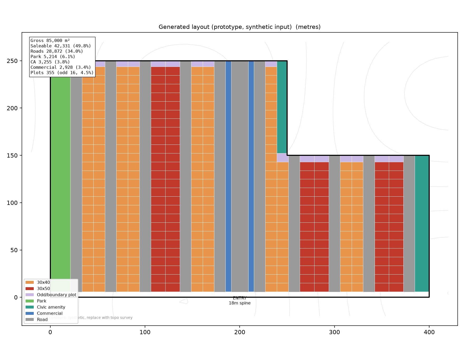
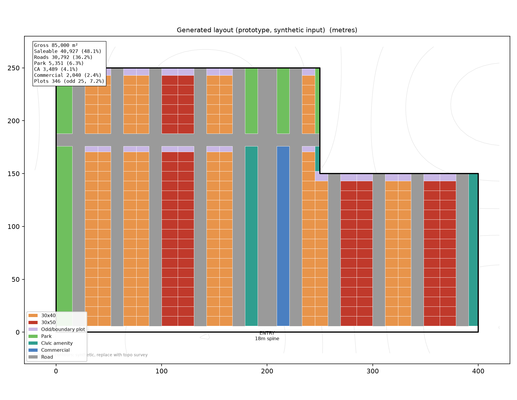
3 layout options, trading off saleable area against periodic cross-roads. Pick one below.
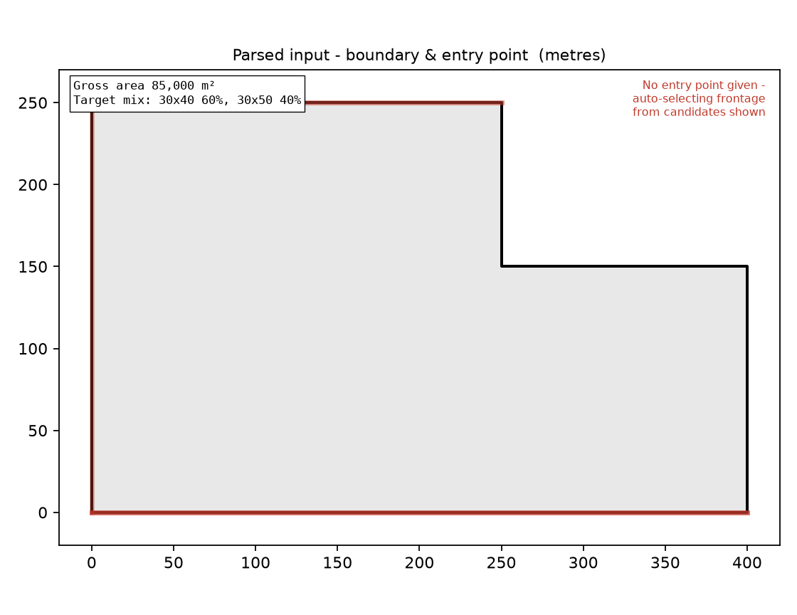
No entry point given - frontage edge auto-selected from the boundary shape.
What we read from your file
Measured off synthetic_site.dxf · DXF
Site boundary85,000 m²6 vertices on SITE_BOUNDARY
30x40 ft plots3 drawn (60.0%)from drawing
30x50 ft plots2 drawn (40.0%)from drawing
Park / open space4.2%from drawing
Civic amenity3.5%from drawing
Commercial2.12%from drawing
Spine road width12 mfrom drawing
Secondary road width9 m (default)
Layers RE360 found (8)
SITE_BOUNDARY ×1 · PARK ×1 · CIVIC_AMENITY ×1 · COMMERCIAL ×1 · PLOT_30x40 ×3 · PLOT_30x50 ×2 · ROADS ×1 · TEXT ×1
 Download DXF
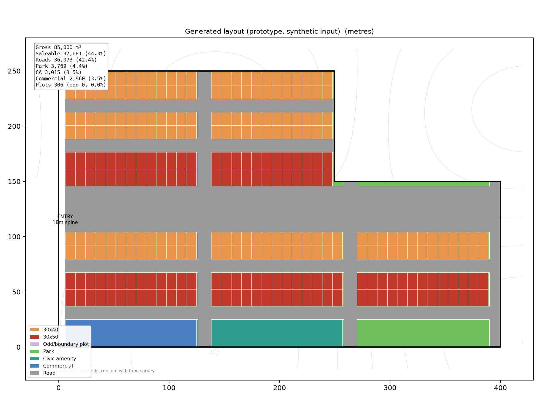
Gross area
85,000 m²
Saleable
44.3%
Roads
42.4%
Park
4.4%
Civic amenity
3.5%
Commercial
3.5%
Plots
306
Odd / boundary
0 (0.0%)