ReOS

Land parcel → plot subdivision (prototype)

Upload a site drawing (DXF or DWG) or a boundary / product-mix Excel file to generate a plotted-development layout: DXF plus a rendered plan, in the style used for scoping review. Drawings are measured directly - boundary, plot mix and reservations come off your own layers.

Generate a layout

Drag & drop your site drawing or Excel file here
or click to browse · .dxf, .dwg or .xlsx · up to 4.5 MB
No drawing to hand?
Sample site drawing - 8.5 ha dogleg parcel, plots and reservations on layers

No bylaws document applied. Add one to override reservation/road-width defaults.

Drawing: the site outline as a closed polyline on SITE_BOUNDARY, with PLOT_30x40-style layers for the mix and PARK / CIVIC_AMENITY / COMMERCIAL for reservations. Anything missing is defaulted and flagged.
Excel: sheets boundary, product_mix, params.
DWG conversion and layer inventory run on the shared RE360 extraction backend.

Result

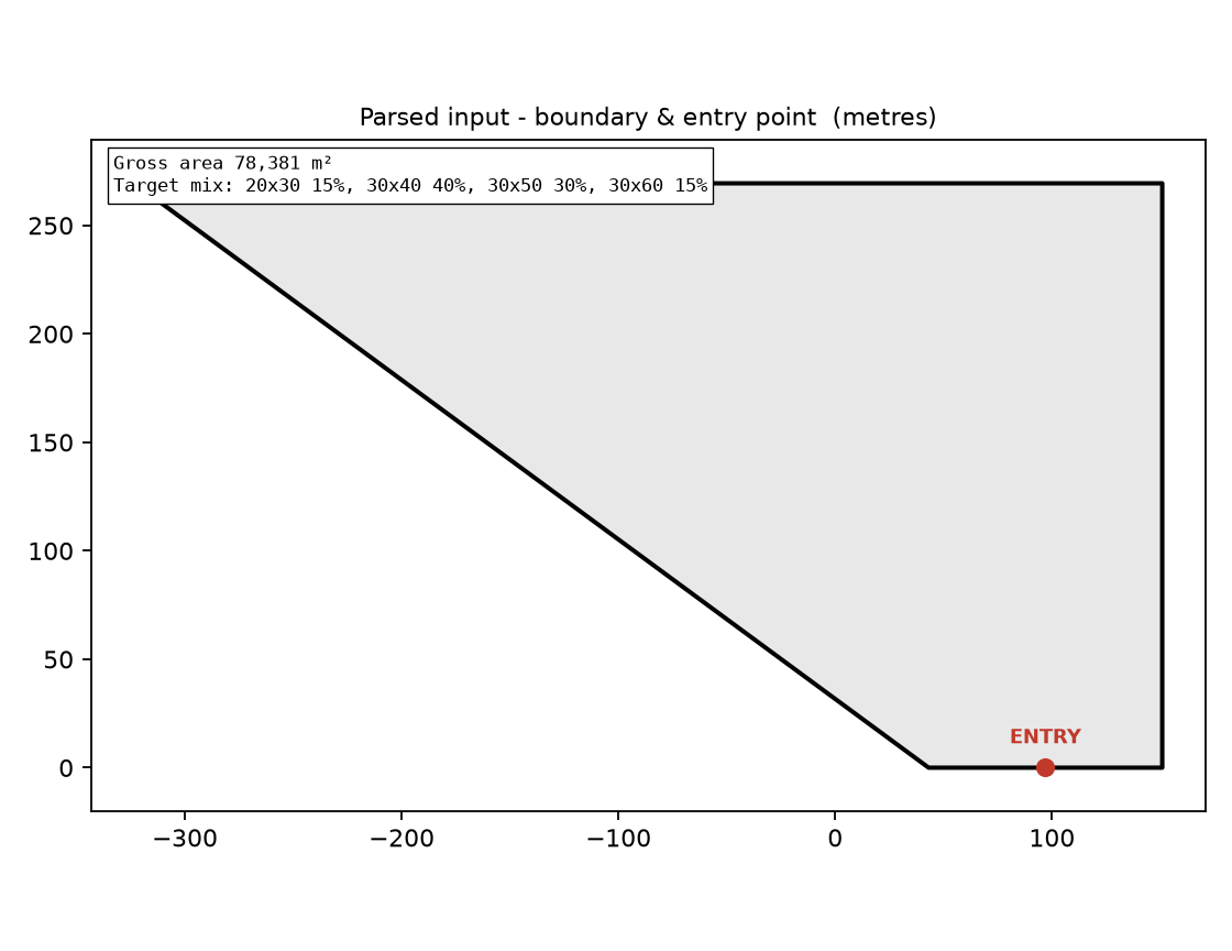
What we read from your file Parsed input: boundary and entry point
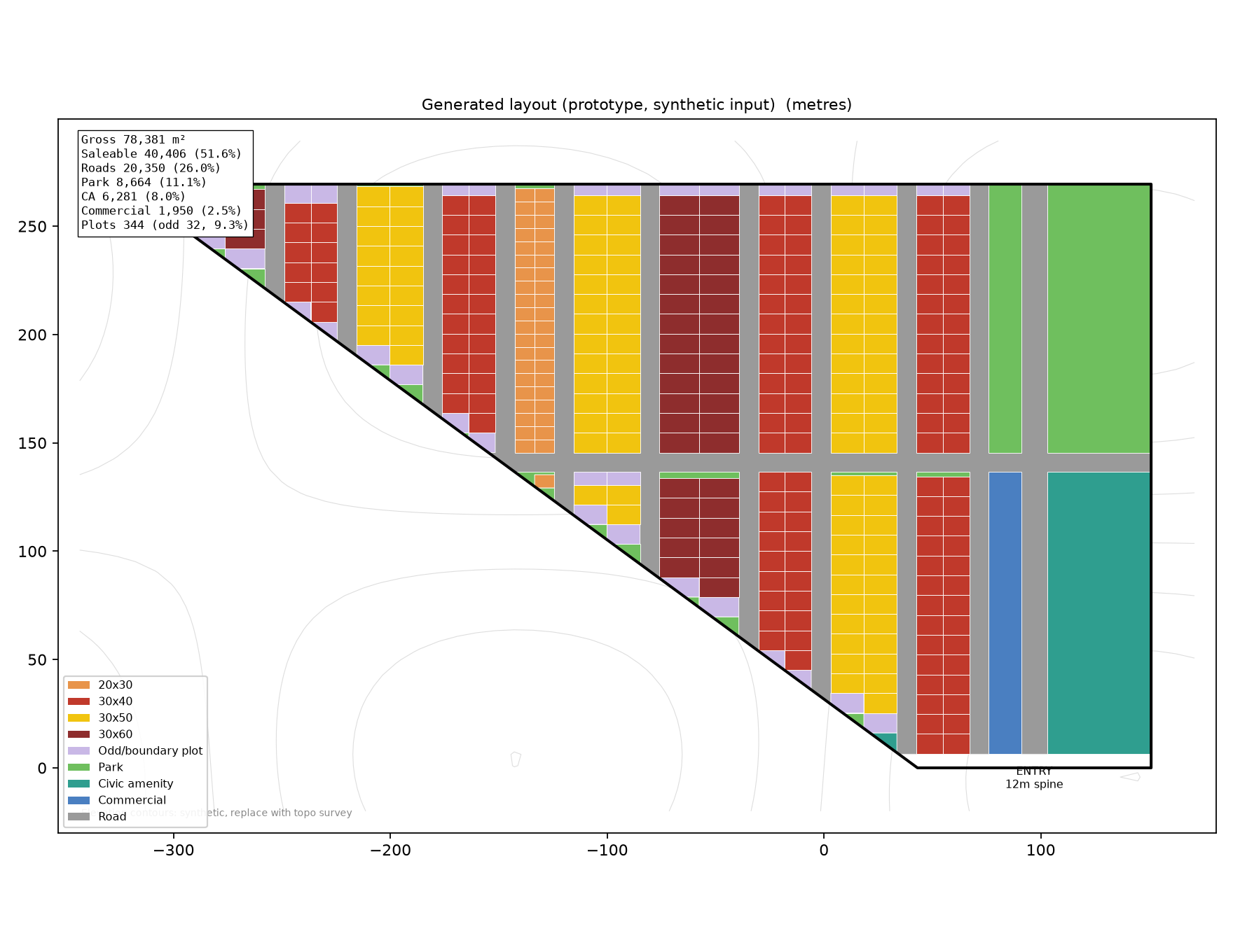
Generated layout Download DXF
Gross area
78,381 m²
Saleable
51.6%
Roads
26.0%
Park
11.1%
Civic amenity
8.0%
Commercial
2.5%
Plots
344
Odd / boundary
32 (9.3%)